My goal for this morning’s long run, was 10 miles. I headed out when the rain cleared at 9:30, starting with a 1.5 mile loop near home as this helps extend my usual routes to the desired length. Only today I decided to go off course and headed to the southside. Juneathon needs a photo of a Highland Cow, and for that I would have to go to Pollok Park.
I figured that I would run for 6ish miles and then turn around and head home the way I came and (minus the original loop) that would work out to be about 10 miles. Despite feeling completely knackered, I plodded on, managing not to get lost in the back streets of Govan.
At mile 5 I passed the entrance to Bellahouston Park. I briefly considered a photo of House for an Art Lover and a mile around Bellahouston, but no, I definitely needed a photo of a Highland Cow, and that meant another mile down the road to Pollok Park. I trudged on entering the Park at the Rugby Club, starting point of last week’s 10k race. “It was just a few hundred metres from the start line to the cow field” I thought to myself.
Apparently not.
My Garmin ticked over to 7 miles just as I ran past Pollok House and onto the long avenue with the field that always has Highland Cows in it.
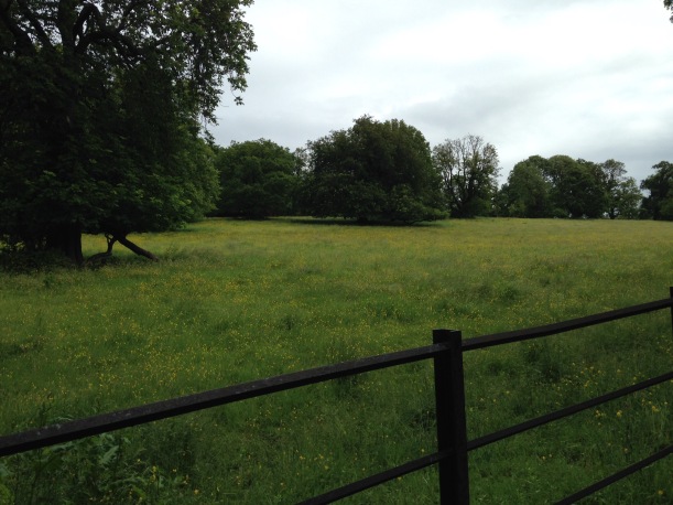
This is what the field contained today: 
A very pretty field devoid of Highland Cows. Hmmm. I could keep looking, they must surely be somewhere nearby, but with a return trip of potentially 5 miles I had had enough and was ready for home. I got my phone out and turned on the Google Maps App for the most direct route . It appeared to be a 4.5 mile direct line, starting back the way I had come. Only as I started to follow the route, it suddenly had me veering to the right and up the hill into the depths of Pollok Park. Against my better judgement I did what I was told until the blue dotted line wanted me to turn into dense woodland where there was no path in evidence. It was becoming patently obvious that Google maps really had no idea where I was nor how to get me out.
Following my nose, and taking left turns where possible, I was eventually spat out of the park at a familiar point, about a mile further away from home than if I had just retraced my steps from the cow-free field. I re-set Google maps and continued on, wishing that I had money for a bus or the underground.
By this point, the sun was, at least, shining, my legs had perked up and it was probably the stretch of the whole run that I enjoyed the most.
It was at 9.6 miles that my Garmin ran out of battery, and also the point where I examined the Google maps route a little more closely and discovered that it involved a ferry crossing across the Clyde. A ferry crossing that I’m pretty sure does not exist, and even if it did exist I had no money for anyway.
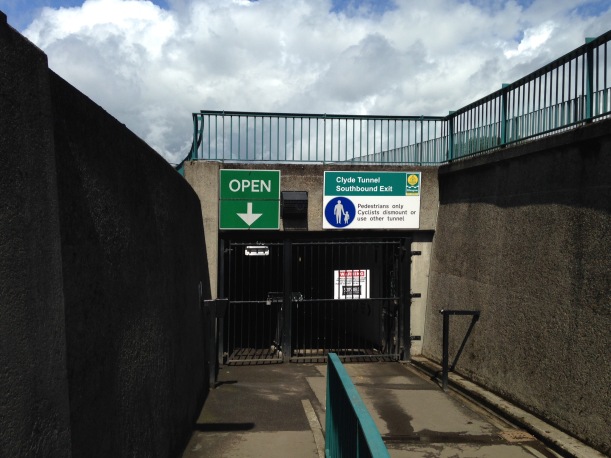
I had two choices: 1. Continue to the nearest bridge, with an extra couple of miles onto the route or 2. Go to the much closer Clyde Tunnel and brave the scary pedestrian access tunnel.
I opted for 2, run-walking toward what I hoped would be the pedestrian entrance. The pedestrian/cycle tunnel runs alongside the car tunnel and is accessed by pressing a buzzer which is released by the control workers. They count any pedestrians in and out again at the other end, and limit the numbers accessing the tunnel at any one time.
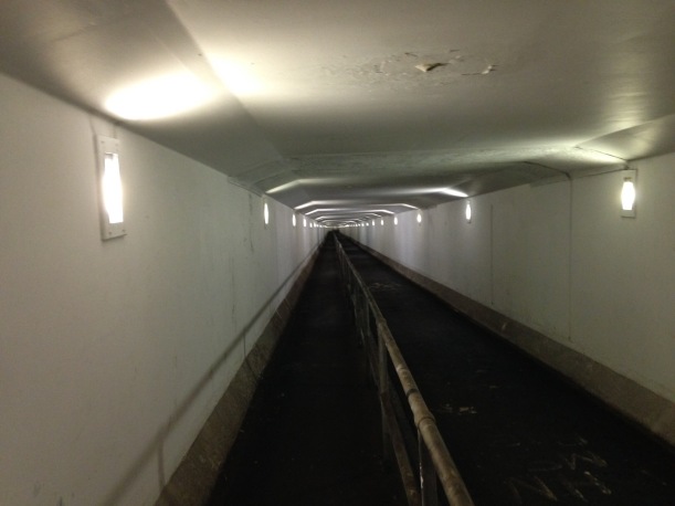
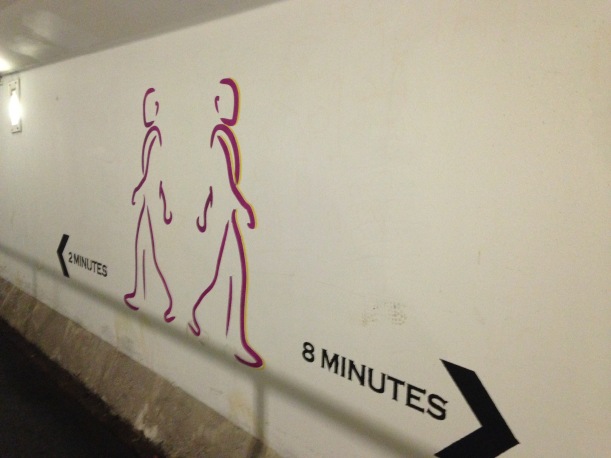
The tunnel was eerie, although well lit and relatively clean. As the Clyde at this point is deep enough for large ships to navigate, it is not surprising that it is a steep hill down and then back up the other side. I ran the down section and walked the other side.
I met only one other person coming the other way, a young woman who stood aside as I ran past. Once safely out again it was only a half mile home which I walked.
Juneathon Day 28 – 11.5 miles run
- Running – 11.5 miles
- Highland Cows – 0
- Stupid Technology Fails – several


